|
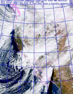

TerraModis West 1km True Color
December 17, 2008 10:30 a.m. PST
|
A cold upper level low produced widespread rain and snow in Southern California, closing highways, fouling traffic, and chilling Southlanders. As much as a foot of snow was reported in the Antelope Valley and the snow level dropped to near 2000 ft in the foothills and mountains of Ventura and Los Angeles counties.
As forecast by the NAM/WRF, the precipitation totals were higher to the south of the Los Angeles basin. This Intellicast.com animated loop shows the pattern of rain and snowfall from Tuesday evening to Wednesday evening. Here are some preliminary storm totals from the NWS Los Angeles/Oxnard and storm totals from the NWS San Diego.
Downtown Los Angeles (USC) recorded 0.51 inch for the storm, bringing the water year rainfall total at Los Angeles to 2.79 inches. As of December 17, this is 1.41 inches above normal, and 0.34 inch more rain than we had last year on this date.
What's next? RAMDIS 4km water vapor animation shows a weak disturbance northwest of Pt. Conception, moving east toward the Central Coast. Although today's 18z NAM/WRF is dry overnight south of about Monterey, this area of vorticity could produce a shower north of Pt. Conception. After that, things should stay dry in Southern California until around Monday, when a fast moving front sweeps through the state. Later in the week, sometime around Christmas, the models are suggesting the possibility of a major system impacting California. We'll see!
|